Atlas GNSS Global Correction Service
The most cost effective service available for offshore GNSS Corrections.
QUICK FACTS
Flexible and scalable service
Delivers correction signals via L-band satellites
Accuracy ranges from meter to sub-decimeter levels
Leverages ≈ 200 reference stations worldwide with L-band satellites
Provides correction data for GPS, GLONASS, and BeiDou constellations
ABOUT
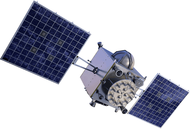
Atlas is an innovative, industry-leading GNSS-based global L-band correction service, providing robust performance at market-leading prices. Atlas is a flexible and scalable service, delivering its correction signals via L-band satellites at accuracies ranging from meter to sub-decimeter levels. Leveraging approximately 200 reference stations worldwide and with L-band satellites distributing Atlas corrections, the entire globe is virtually covered. The Atlas GNSS global correction service provides correction data for GPS, GLONASS, and BeiDou constellations.
Atlas correction service is available on all Hemisphere Atlas-capable single- and multi-frequency, multi-GNSS hardware. Atlas complements third-party GNSS receivers by allowing them to use Atlas corrections with Hemisphere’s innovative BaseLink™ and SmartLink™ capabilities.
QUICK FACTS
Smart antenna preconfigured to receive corrections
Receive corrections directly via AtlasLink or existing receiver
No longer be tied to a single corrections provider
Multi-mode options
ABOUT
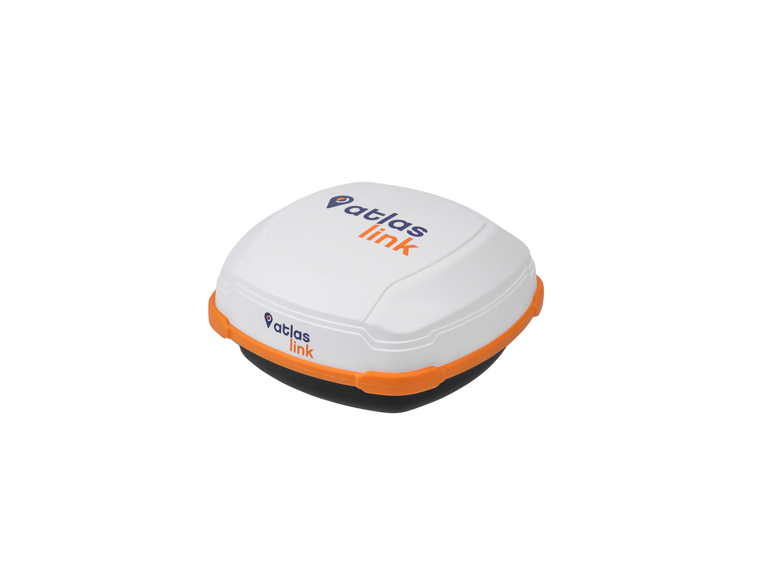
AtlasLink is a multi-GNSS, multi-frequency smart antenna preconfigured to receive corrections from Hemisphere’s Atlas global corrections service. Paired with Atlas provides you with the easiest way to receive Atlas corrections via the industry’s most powerful multipurpose GNSS smart antenna, either directly from AtlasLink or into your existing receiver.
No longer be tied to a single corrections provider requiring you to purchase their corrections, which can only be received by their device. Whether you utilize Atlas corrections data on equipment that doesn’t have the ability to receive L-band signals, or you would like to use Atlas corrections on systems that currently receive L-band corrections from another source, you now have the freedom to do so. AtlasLink, in SmartLink™ or BaseLink™ mode, enables you to utilize Atlas corrections on any receiver from any vendor that supports industry-standard correction formats.
ADDITIONAL INFORMATION
+ Additional Product Information
When using multi-frequency hardware, Atlas corrects more satellites than ever before, which creates faster convergence times and is robust and reliable in canopy or foliage covered areas. With both single- and multi-frequency hardware, Atlas achieves instant global sub-meter positioning accuracy, comparable to, and typically more robust than SBAS, since Atlas corrections contain data from multiple available constellations. Systems supporting Atlas utilize Hemisphere's world-class Athena GNSS RTK engine. Athena often exceeds performance offered by other industry leaders and provides a future-proof foundation enabling market-defining performance, flexibility, and reliability.
+ What is Atlas Basic
Atlas Basic provides users of both single- and multi-frequency Atlas-capable products the ability to achieve SBAS equivalent performance anywhere in the world where the Atlas correction service is available. Atlas Basic is a ground-breaking new feature that offers a proven accuracy of 30 to 50 cm (95%)*. Atlas Basic offers instantaneous sub-meter accuracy allowing for DGPS-level accuracy within the global regions supported by Atlas. • Depends on multipath environment, number of satellites in view, satellite geometry, and ionospheric activity.
+ Industry Leading Capabilities
Positioning Accuracy: Atlas provides competitive positioning accuracies down to 4 cm RMS in certain applications, often exceeding competitive systems' capabilities Positioning Sustainability: Cutting-edge position quality maintenance in the absence of correction signals, using Hemisphere's Tracer™ technology Convergence Time: Industry-leading convergence times of 10 - 40 minutes Global Ionospheric Model: Real-time ionospheric activity and data is sent to the receiver andallows Atlas-capable devices to adjust accordingly, providing excellent convergence performance
+ Scalable Service Levels
Atlas Basic: 50 cm 95% (30 cm RMS) H10: 8 cm 95% (4 cm RMS)


