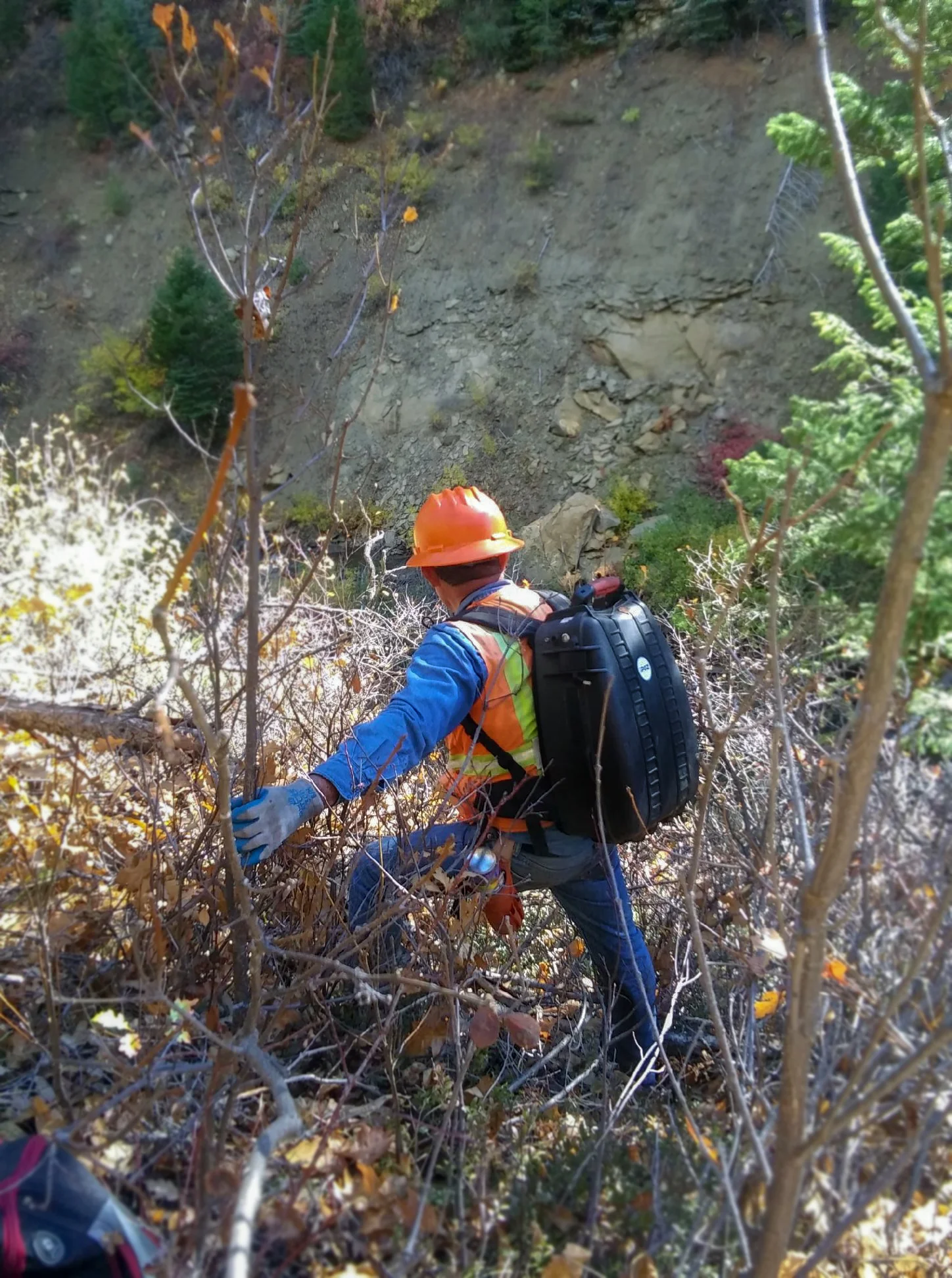
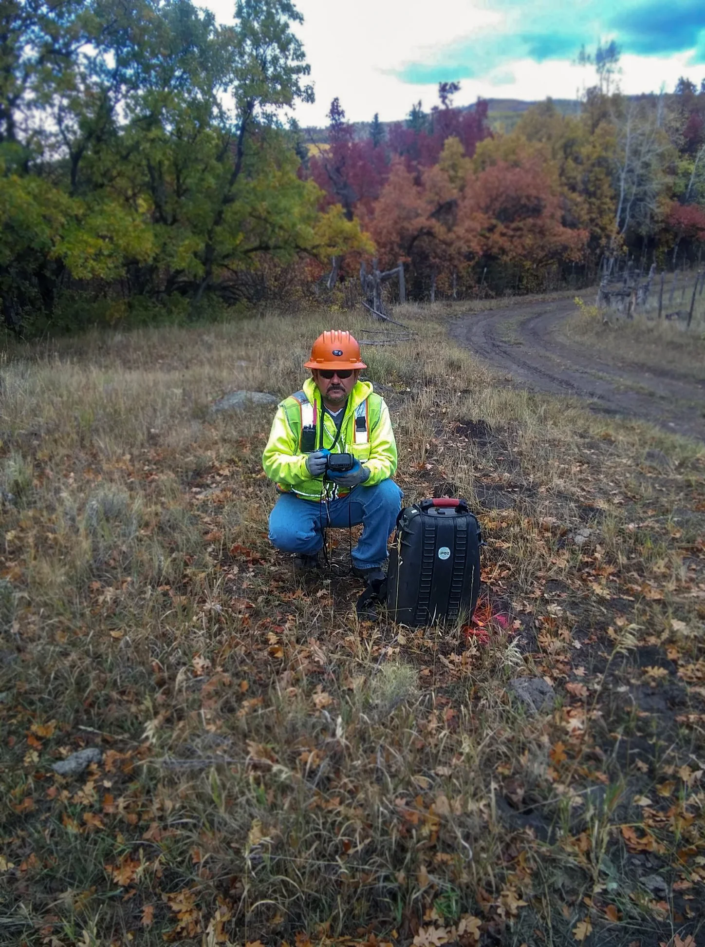
GIPSI-Backpack
Precise land survey positioning tool driven by state-of-the-art inertial navigation technology.
QUICK FACTS
Highly accurate & efficient data collection
Real time accuracy
Ideal for GPS challenged environments
Easy to use
Waterproof
Weight < 30 lbs
Operating Temperatures: -20C to +50C
About
IPOZ GIPSI® Inertial Backpack is a land survey instrument based on Inertial Navigation technology. It is the perfect positioning tool for all applications, and in particular where GPS is not optimal.
The IPOZ GIPSI® Inertial Backpack has the same accuracy after post-processing as RTK GPS in average projects but is much more environmentally friendly than any other instrument. This survey instrument is lightweight and easy to use, a GPS-trained operator will already have all the background knowledge necessary for its operation.
APPLICATIONS
GIPSI Inertial Backpack is perfect for
Subterranean Mapping - Tunnels, Sewer Systems, etc.
Surveying & Mapping in GPS Challenged Environments
Oil and Gas Seismic Exploration Surveying
THE IPOZ DIFFERENCE
+ REAL-TIME ACCURACY
- 3D position: 1m per km between Control Points
- Heading: 0.05 degree
- Pitch and Roll: 0.02 degree
+ POST-PROCESSED ACCURACY
- Horizontal Position: 0.40m average
- Vertical Position: 0.40m average
- Recommended distance between Updates to Control Positions: 1.6 km or 1 mile (linear)
+ INPUTS
- 3D Positions can be input for Alignment or to Update position via binary files.
- Navigation is computed internally at high rate using motions sensed by the INS itself.
- All Inputs controlled by IPOZ survey software
- Input files can be created by e.g. GPSeismic™ and other proprietary software
+ OUTPUTS
- 3D positions are recorded in a Windows CE™ Handheld Computer
- Output files can then be processed on a PC by IPOZ or other off-the-shelf survey software to create maps and Industry Standard formats (ASCII, SEGP1, DXF, DWG, SHAPE etc.)
+ IMU SPECS
- Vibration: Mil-Prf-71185
- Shock: Mil-Prf-71185
- Power Mil-Std-1275A,
- Power consumption: <25W data-preserve-html-node="true"
+ PRODUCTIVITY
The results of comparison surveys show that the accuracy of the 3D positions recorded with IPOZ Inertial Backpack are similar to the best RTK GPS surveys, and therefore more than adequate for Oil and Gas exploration (seismic exploration), Forestry and many applications where a Land Surveyor is needed. The difference with theodolite surveys is its remarkable velocity: IPOZ Inertial Backpack can do the job at 4 to 5 times the productivity of conventional survey methods with half the team (crews of 2 or 3 men instead of 5 to 6 in theodolite crews, including brush and tree cutters).
+ ENVIRONMENTAL
Because the IPOZ GIPSI® Backpack is an autonomous instrument, it doesn’t require line-of-sight or radio signals to operate. In forested environments the surveyor does not have to cut any vegetation to survey even the straightest lines. The operator simply walks around trees and bushes, and places bio-degradable survey markers exactly in the position intended (preplot), but without any environmental impact. In contrast, other survey methods such as theodolite surveys require heavy cutting of vegetation in extremely straight lines that remain visible for years, and sometimes, start a process of erosion that is dramatic to the local area habitats and inhabitants.


