
Where it all Began
As a Discovery Acquisition Services (D.A.S) company, IPOZ was initially created in order to support their parent company’s ongoing land seismic operations across North America.
As heavily experienced land seismic field surveyors, D.A.S partners, saw a major need for more enhanced technological tools to support the development of the surveying industry – and so, they decided – they would take it upon themselves to start to shape those tools – this is how IPOZ came to be.
As time has gone by, naturally IPOZ began to expand, taking their inertial navigation expertise into other industries like that of pipeline mapping. Today, we are evolving into a multi-industry solution provider by taking our positioning expertise to both Land & Sea, Above and Below.
Our Positioning History

2004
Inertial Land Survey - Proprietary inertial survey instruments created

2011
Inertial Land Survey - Further developments to GIPSI Sled for enhanced accuracy

2007
Inertial Market Expansion - Expansion of inertial land surveying instrument offerings
2014
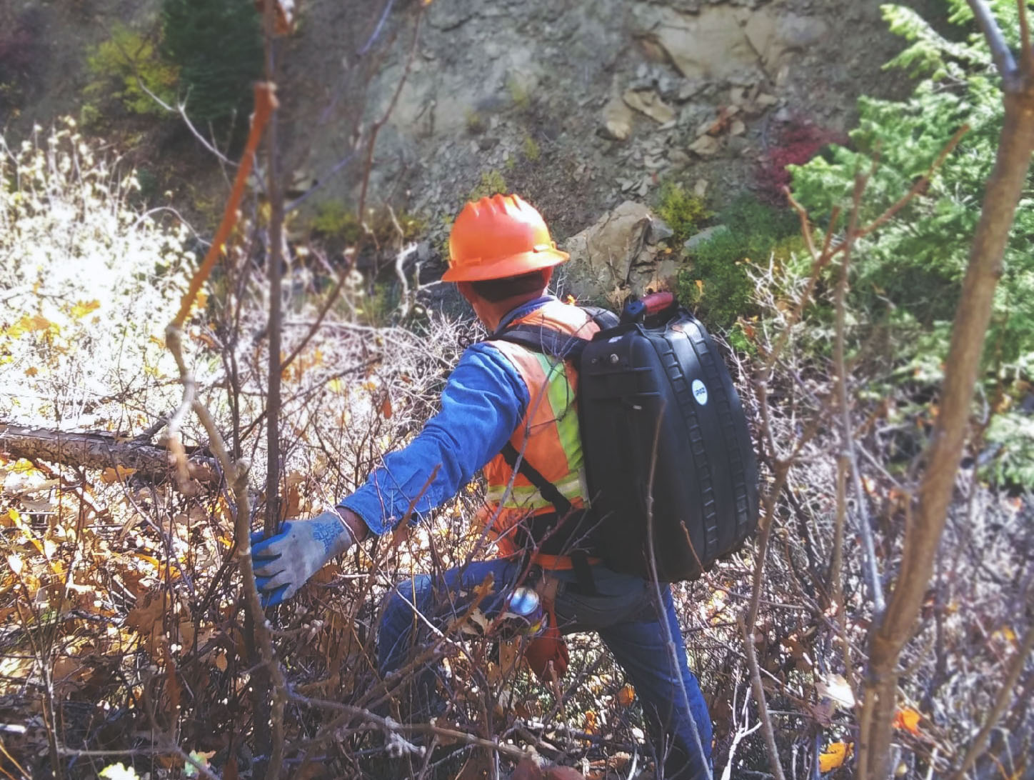
Inertial Land Survey - Further developments to GIPSI Backpack for enhanced accuracy, and portability features

2008
Inertial Pipeline Mapping - Inertial pipeline mapping suite matured and released to market

2018
Subsea Inspections Market - IPOZ begins development on GIPSEA photogrammetry subsea camera for inspections market - release date tbd

2010
Inertial Metrology - Hardware & software tools proven and released to Offshore Industry

2019
Global GNSS Market - official distributors of Hemisphere GNSS equipment and correction Services for All High-Precision Applications