
Onshore Solutions
Driving efficiency.
Our onshore solutions are designed to automate and streamline data collection processes in order to increase the speed of your project and accuracy of information.
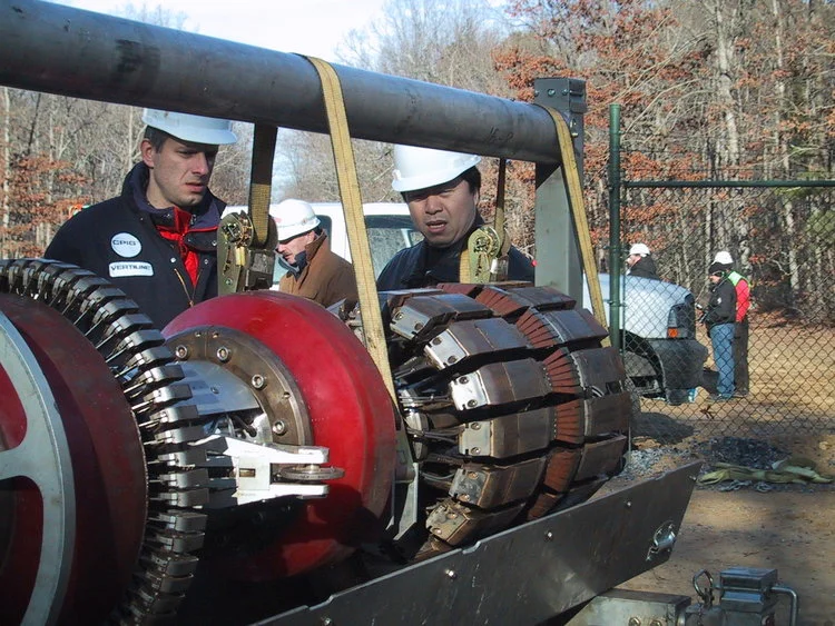
On land we offer a variety of solutions where GPS and theodolites fail or are too slow and damaging to the environment. Our inertial survey instruments are the most accurate in the industry. Where GPS needs a clear open sky to receive satellite signal and radio corrections, and when the theodolite requires massive brush and tree cutting to obtain necessary line-of-sight, we can offer an environment-friendly and highly productive survey solution.


Check out our onshore solutions…
iPOZ are now official distributors of Hemisphere GNSS positioning line. Hemisphere GNSS is an innovative technology company that designs and manufactures high-precision positioning products and services for use in OEM/ODM, marine, machine control & guidance, agriculture, and L-band correction service markets.
The complete range of Hemisphere GNSS systems can be purchased standalone or as complete systems depending on your needs.
Our GIPSI system allows us to obtain high rate, high accuracy land survey while walking between trees and shrubs, and therefore leave minimal damages and therefore guarantees low impact land survey at a low cost and maximal precision. For seismic receiver lines, we still cut straight lines, wide enough for the recording crew carrying their cables/boxes, but with less damage and more productively than conventional survey techniques.
Our GIPSI Backpack system is the perfect positioning tool where GPS is not optimal. The IPOZ GIPSI® Inertial Backpack has the same accuracy after post-processing as RTK GPS in average projects but is much more environmentally friendly than any other instrument. This survey instrument is lightweight and easy to use, a GPS-trained operator will already have all the background knowledge necessary for its operation.
With many years of experience in the pipeline survey business, we believe we offer the best methodology and the best deliverables of the industry. We will deliver accurate maps, GIS information, full report with position and orientation at up to 500Hz of every feature and defect observed by your pipeline pig. Well offer as a bonus a 3D visualization on Google Earth ("Fly Over"), with all geo-referenced information. Here also we specialize in the use of Inertial Navigation for the core positioning and orientation of the pig within the pipe. Contact us and ask for samples of our deliverables.